Dynamic Solutions-Best Forensic Software Company In Bangladesh
Best Forensic Software Company In Bangladesh-DYNAMIC SOLUTIONS
Best Forensic Software Company In Bangladesh-DYNAMIC SOLUTIONS
We, as Public Safety experts, are aware of the role and the responsibility our technology play in the different areas, such as crime, crash, fire investigation, emergency response, defence, protection and security of you, our customers. This alone has always made us more of a partner than a mere supplier of measurement, documentation, and visualisation equipment.

Criminal investigation
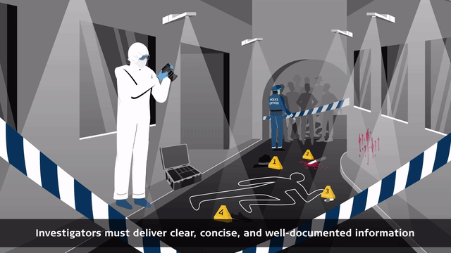
Properly documenting a crime scene is crucial, as even small details can impact a case. Evidence might not be reviewed for years, risking lost context. A Forensic Digital Twin allows investigators, prosecutors, and judges to revisit and understand the crime scene accurately over time.
Solutions for Public Safety, Security and Forensics
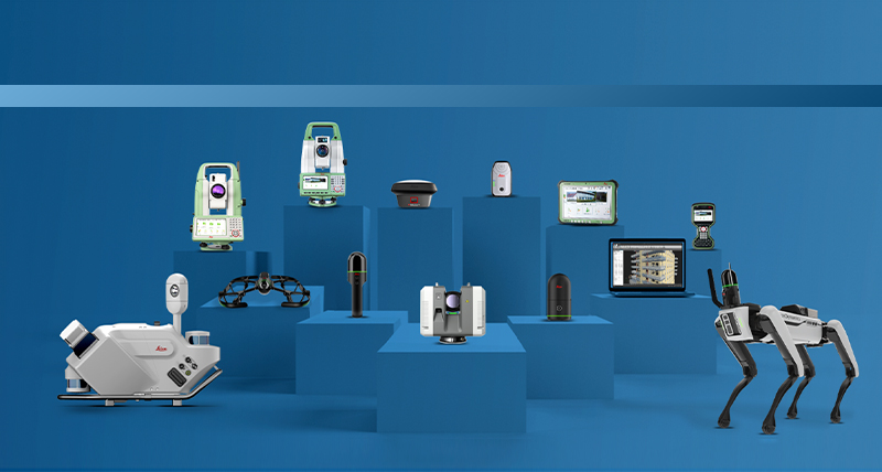
Our solutions enable professionals to fully capture the reality creating a Forensic Digital Twin and clear scenes quickly, reducing disruption, making digital documentation and mapping safer, minimising risks, protecting response teams and the public. Covering an array of tasks, our solutions deliver the highest accuracy and provide the most qualified court-ready documentation. Partnering with police departments and investigative units, we support this critical work with a wide range of solutions, ranging from 3D laser scanners, total stations and GNSS to Incident Mapping Suite.

Our 3D laser scanning, autonomous solutions, mobile mapping, total stations and GNSS solutions enable you to completely capture and clear scenes quickly, making the digital documentation and mapping safer.
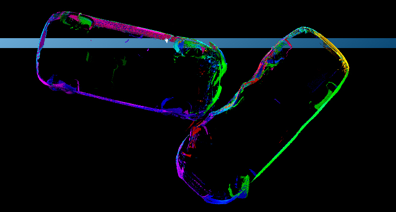
Our specialised software creates a wide array of deliverables from digital datasets. Provide detailed and informative diagrams, illustrations, 3D animations, flythroughs and more.

Access the largest library of high-resolution aerial imagery with the HxGN Content Program or benefit from the world’s largest GNSS correction service, HxGN SmartNet. Discover our tailored and scalable offering of after-sales services and support.